The Eifelsteig stages
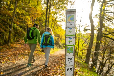
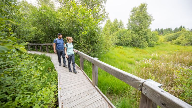
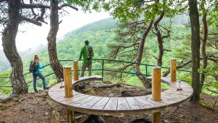
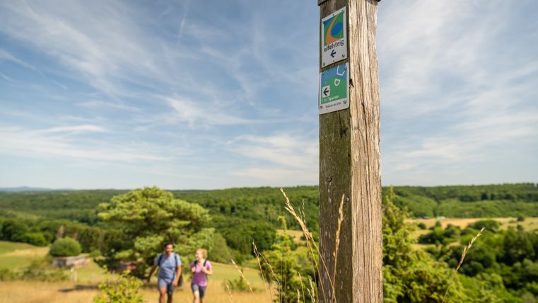
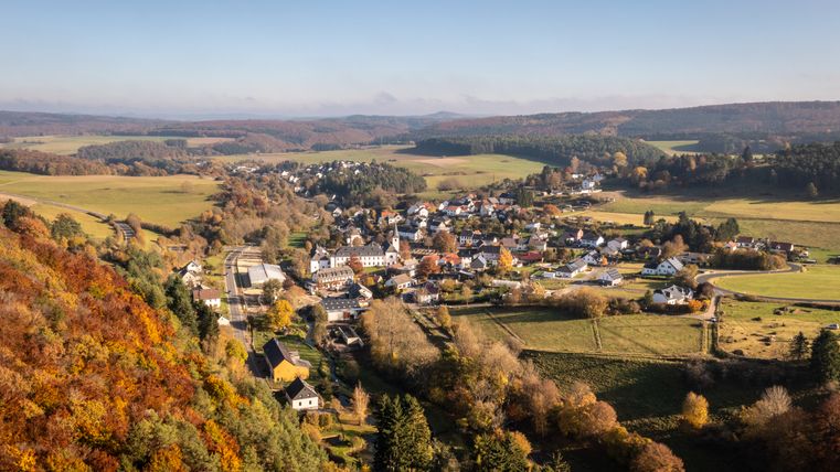
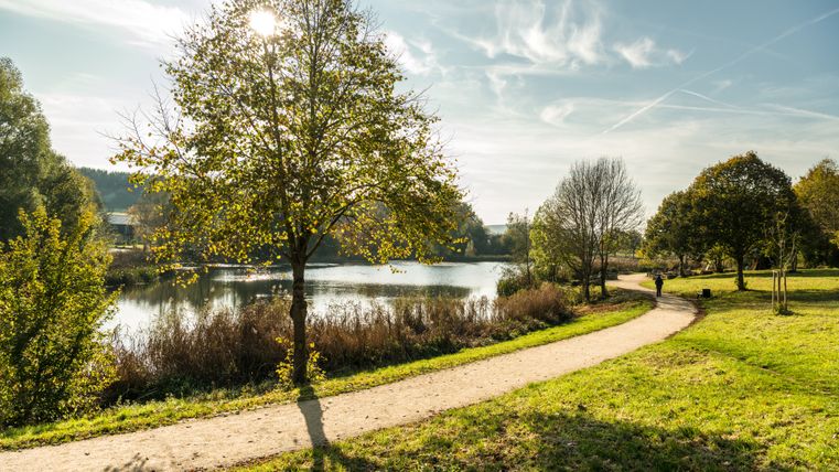
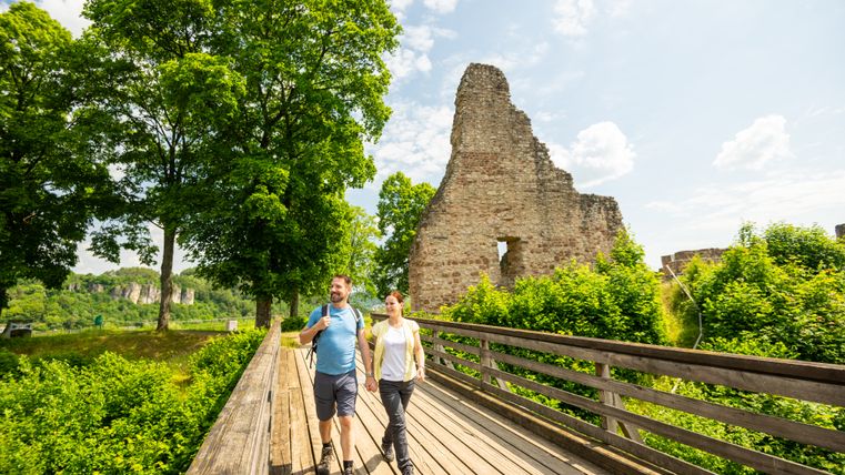
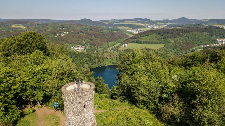
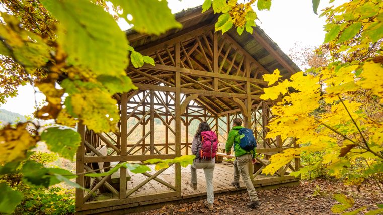
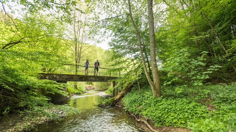
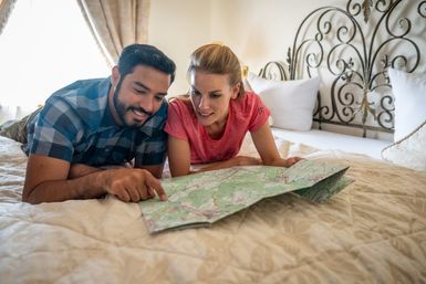
The Eifelsteig trail takes you 313 kilometers across the Eifel - from Kornelimünster to Trier - and is divided into 15 varied daily stages of between 14 and 28 kilometers. The first stage, at 14 kilometers, is the shortest and an ideal introduction, while the following sections, at around 20 kilometers, offer a pleasant daily workload. Step by step, you will experience the diversity of the region: wide plateaus, quiet stream valleys, striking rocky landscapes and historic places that make each stage unique.
However, the Eifelsteig is at its most impressive when you are out and about for several days at a time. Only then will you experience that special feeling of long-distance hiking - consciously switching off from everyday life, taking in the landscape and hiking at your own pace. So that you can enjoy your Eifelsteig adventure as relaxed as possible, Eifel Tourismus GmbH, together with various hiking tour operators, offers comfortable multi-day arrangements. On request, these include organized hotel accommodation, practical packed lunches and even luggage transport so that you only have to carry a light rucksack during the day.
But even if you prefer to remain flexible or want to test individual sections, the Eifelsteig is easily accessible: Thanks to good public transport connections, some stages are ideal for day hikes. This allows you to discover the trail at your own pace.
During the hiking season, you can also use the Eifelsteig hiking bus between stages 5, 6 and 7, which runs in both directions of the stages.
The 15 stages at a glance
Perhaps you would like to experience the Eifelsteig on a single stage before embarking on a longer tour. This is a wonderful opportunity to get to know the character of the trail and find out which landscapes and route profiles appeal to you the most. Each of the 15 daily stages has its own unique charm - sometimes the trail leads through quiet forests, sometimes along spectacular rock formations or through charming villages with refreshment stops.
Take a look at the stage overview and discover the stage and find the route that best suits you and your hiking plans.
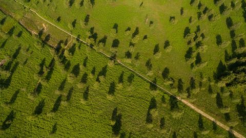
Eifelsteig stage 01
The first stage from Aachen-Kornelimünster through the Indetal to Roetgen.
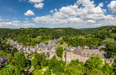
Eifelsteig stage 02
RoetgenThe second stage from Roetgen to Monschau.
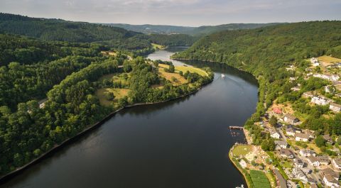
Eifelsteig stage 03
MonschauThe third stage of the Eifelsteig from Monschau to Einruhr.
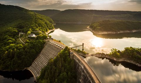
Eifelsteig stage 04
SimmerathThe fourth stage of the Eifelsteig from Einruhr to Gemünd.
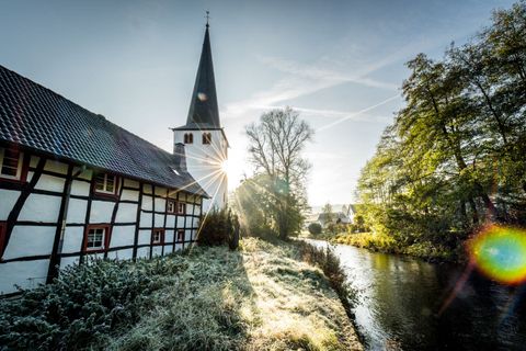
Eifelsteig Stage 05
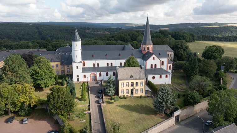
SchleidenThe 5th stage of the Eifelsteig leads from Gemünd to Steinfeld.
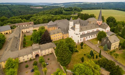
Eifelsteig Stage 06
KallThe 6th stage of the Eifelsteig leads from the Monastery Steinfeld to Blankenheim
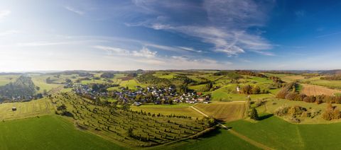
Eifelsteig Stage 07
BlankenheimThe 7th stage of the Eifelsteig leads from Blankenheim to Mirbach.
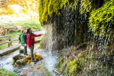
Eifelsteig Stage 08
WiesbaumThe 8th stage of the Eifelsteig leads from Mirbach to Hillesheim.
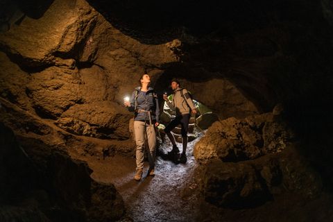
Eifelsteig Stage 09
HillesheimThe 9th stage of the Eifelsteig leads from Hillesheim to Gerolstein
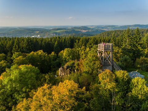
Eifelsteig Stage 10
GerolsteinThe stage 10 of the Eifelsteig leads from Gerolstein to Daun.
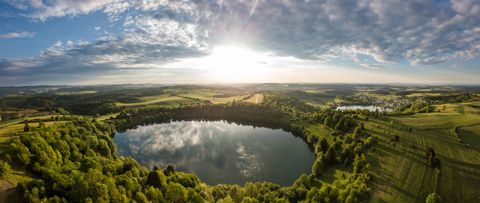
Eifelsteig Stage 11
DaunThe 11th stage of the Eifelsteig leads from Daun to Manderscheid
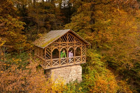
Eifelsteig Stage 12
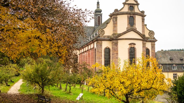
ManderscheidThe 12th stage of the Eifelsteig leads from Manderscheid to the monastery Himmerod.
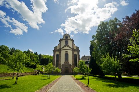
Eifelsteig Stage 13
GroßlittgenThe 13th stage of the Eifelsteig leads from the monastery Himmerod to the little village Bruch.
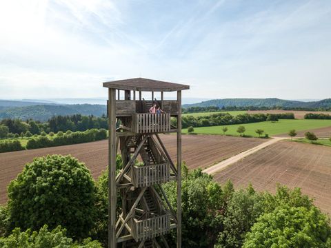
Eifelsteig Stage 14
BruchThe stage 14 of the Eifelsteig leads from Bruch to Kordel.
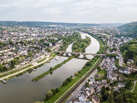
Eifelsteig Stage 15
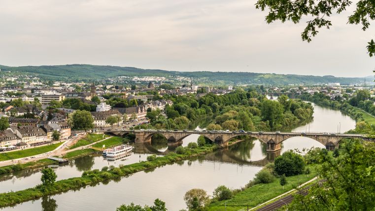
KordelThe stage 15 is the last stage of the Eifelsteig and leads from Kordel to the finish Trier.
Impressions
Copyright: Eifel Tourismus GmbH, Dominik Ketz Copyright: Eifel Tourismus GmbH, AR-shapefruitAG Copyright: Eifel Tourismus GmbH, Dominik Ketz Copyright: Eifel Tourismus GmbH, AR-shapefruitAG Copyright: Eifel Tourismus GmbH, Tobias Vollmer Copyright: Eifel Tourismus GmbH, Dominik Ketz Copyright: Eifel Tourismus GmbH, Dominik Ketz Copyright: Eifel Tourismus GmbH, Dominik Ketz Copyright: Eifel Tourismus GmbH, Dominik Ketz Copyright: Eifel Tourismus GmbH, Dominik Ketz Copyright: Eifel Tourismus GmbH, Dominik Ketz Copyright: Eifel Tourismus GmbH, Dominik Ketz Copyright: Eifel Tourismus GmbH, Dominik Ketz Copyright: Eifel Tourismus GmbH, Dominik Ketz Copyright: Eifel Tourismus GmbH, Dominik Ketz

