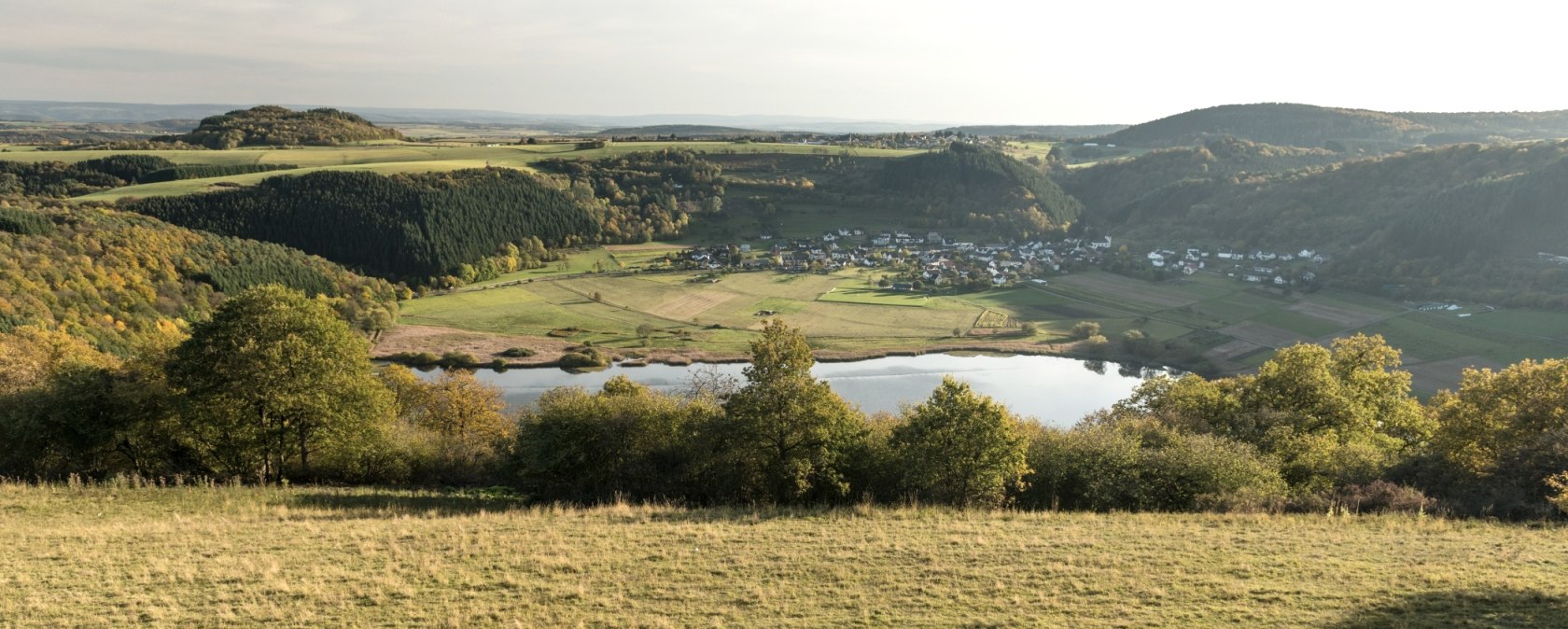
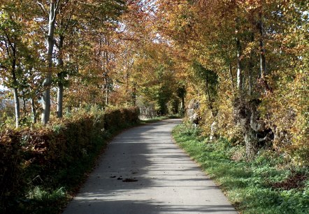
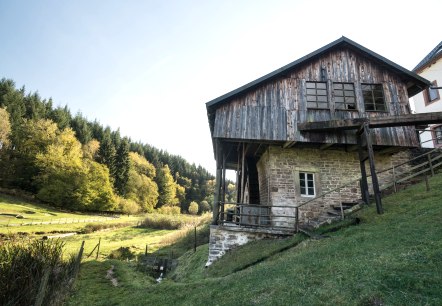
Partnerwege Meerfelder Maar, © Eifel Tourismus/D. Ketz

Eifelsteig partner routes

Over its 313 kilometres, the Eifelsteig passes numerous attractions and beautiful scenery on its journey between Aachen in the north and Trier in the south. To enable you to discover the landscape highlights to the left and right of the route, other hiking trails are signposted along the way, which we call “partner routes”. In part, they run along the Eifelsteig in sections, while other routes are completely separate. In the Volcanic Eifel area, there are 14 routes known as the “Volcanic Eifel trails”.


The partner routes are of the same high quality as the Eifelsteig itself. The clear markings and signs make it impossible to lose your way. Due to their length, the partner routes enable day hikes, or multiple day hikes in combination with the Eifelsteig.


mehr lesen

Share content:

Bitte akzeptieren Sie den Einsatz aller Cookies, um den Inhalt dieser Seite sehen zu können.

Alle Cookies Freigeben
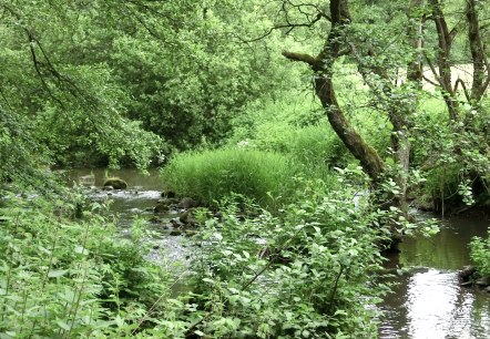
The 2 Streams Trail leads through the Alfbach Valley, © Eifel Tourismus GmbH

2 Bäche-Pfad

Lenght: 13.8 km
Route: 54533 Hasborn, Bike Parking to 54533 Hasborn
Difficulty: medium
Family-friendly, Round trip

More information
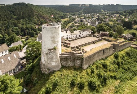
Castle Route hiking trail: Reifferscheid Castle, © Eifel Tourismus GmbH, D. Ketz

Burgen-Route

Lenght: 17.5 km
Route: 53940 Hellenthal, Bus station to 53945 Blankenheim
Difficulty: medium

More information
Copper route: Kupferhof Rosenthal in Stolberg, © Stolberg-Touristik

Copper Route

Lenght: 15.5 km
Route: 52222 Stolberg to Kitzenhaus
Difficulty: medium

More information
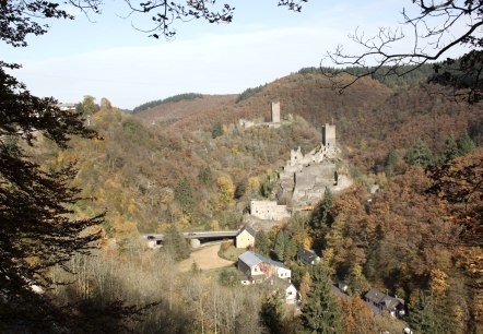
Hiking tour with a view of the Manderscheid castles, © Eifel Tourismus GmbH

County Route

Lenght: 14.2 km
Route: Kurhaus Manderscheid to Manderscheid
Difficulty: medium
Round trip

More information
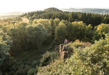
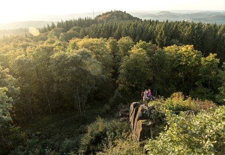
Two people are standing on a rock surrounded by a dense forest. Hills and a wide view over the landscape can be seen in the background., © Eifel Tourismus GmbH, D. Ketz

Gerolstein Celtic Route

Lenght: 8.9 km
Route: Park an der Kyll (Kurpark) to Park an der Kyll (Kurpark)
Difficulty: medium
Family-friendly, Round trip

More information
View from the Dietzenley, © Eifel Tourismus GmbH, Dominik Ketz

Gerolsteiner Dolomiten Acht

Lenght: 17.3 km
Route: Park at the Kyll, 54568 Gerolstein to Park at the Kyll, 54568 Gerolstein
Difficulty: medium
Round trip, Public transportation

More information
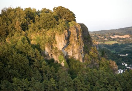
View of the Gerolstein Dolomites, © Eifel Tourismus GmbH/D. Ketz

Gerolsteiner Felsenpfad

Lenght: 8.6 km
Route: Tourist-Information, 54568 Gerolstein, Banhofstraße 4 to Tourist-Information, 54568 Gerolstein, Bahnhofstraße 4
Difficulty: medium
Round trip

More information
Hiking tour Heckenlandroute, © Monschauer Land

Hedgerow route

Lenght: 14.5 km
Route: 52152 Eicherscheid (Intersection L106/Rott) to 52152 Eicherscheid
Difficulty: medium
Round trip

More information
Hinterbüsch path: Cutting mill near Meisburg, © Eifel Tourismus GmbH/D.Ketz

Hinterbüsch Trail

Lenght: 34.1 km
Route: Üdersdorfer Mühle, 54552 Übersdorf to 54531 Meerfeld
Difficulty: difficult

More information
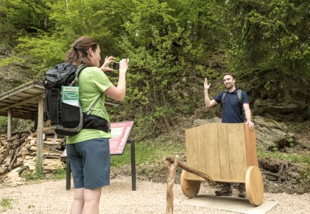
Journey with the Golden Chariot to the milestones of history on the Hochkelberg Panorama Trail, © Eifel Tourismus GmbH, D. Ketz

Hochkelberg Panorama Trail

Lenght: 41 km
Route: 54576 Niederehe to 56766 Ulmen
Difficulty: difficult

More information