Active filter
- Sort by "Best results"


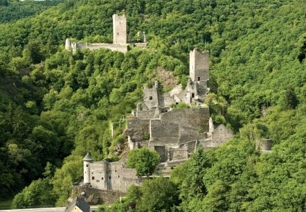
Castles of Manderscheid
Manderscheid
The spa town of Manderscheid is most famous for two medieval castle ruins that stand directly opposite each other on steep mountain spurs not far from the town's alleyways. The massive complexes are separated only by the little Lieser river and a meadow, which in summer becomes a perfect place for a breather while hiking the Eifelsteig trail or for a family picnic with children…
More information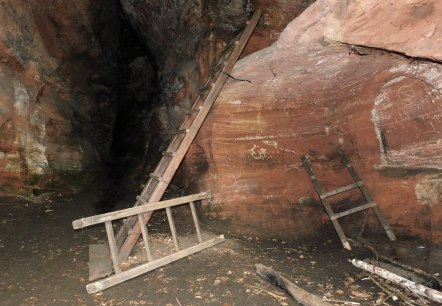
Cave Klausen
Kordel
Visit the Klausenhöhle ( cave) on the Premium hiking trail ``Römerpfad`` and let the past come back to life. According to legends, a hermit lived in the cave in the 18th century.
More information
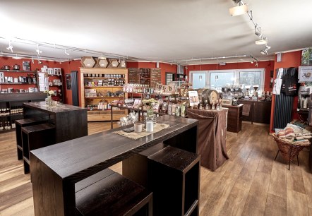
Dauner Kaffeerösterei
Daun
Visit the "Dauner Kaffeerösterei" and enjoy your favourite cup of coffee!.
More information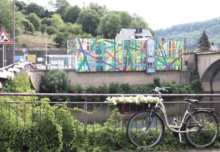
Deutsch-Luxemburgische Tourist-Information/Ferienregion Trierer Land e.V.
Langsur-Wasserbilligerbrück
Contact for stage 14 of the Eifelsteig.
More information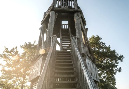
Dietzenley Vulkan & Keltenburg
Gerolstein
About 2500 years ago there was a Celtic urbanisation with pastures on the Dietzenley. The Celtic urbanisation was protected by ring walls of up to 9 meters high and 4 meters wide against attacks. During the volcanic activity around 600. 000 years ago, the area around the Dietzenley was covered with volcanic rocks…
More information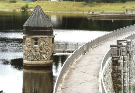
Dreilägerbachtalsperre
Roetgen
The Dreilägerbach dam, which was built between 1909 and 1911, is located between Roetgen and Rott. An undisturbed hike around the drinking water reservoir is particularly attractive in the southern area. You will find hiking boards and signposted circular hiking trails in the surrounding hiking car parks…
More information
Dronketurm
Daun
Climb the 11m high "Dronketurm" on the Mäuseberg near the "Weinfeld Maar" and enjoy an incredible panoramic view over the GesundLand Vulkaneifel around Daun.
More information
