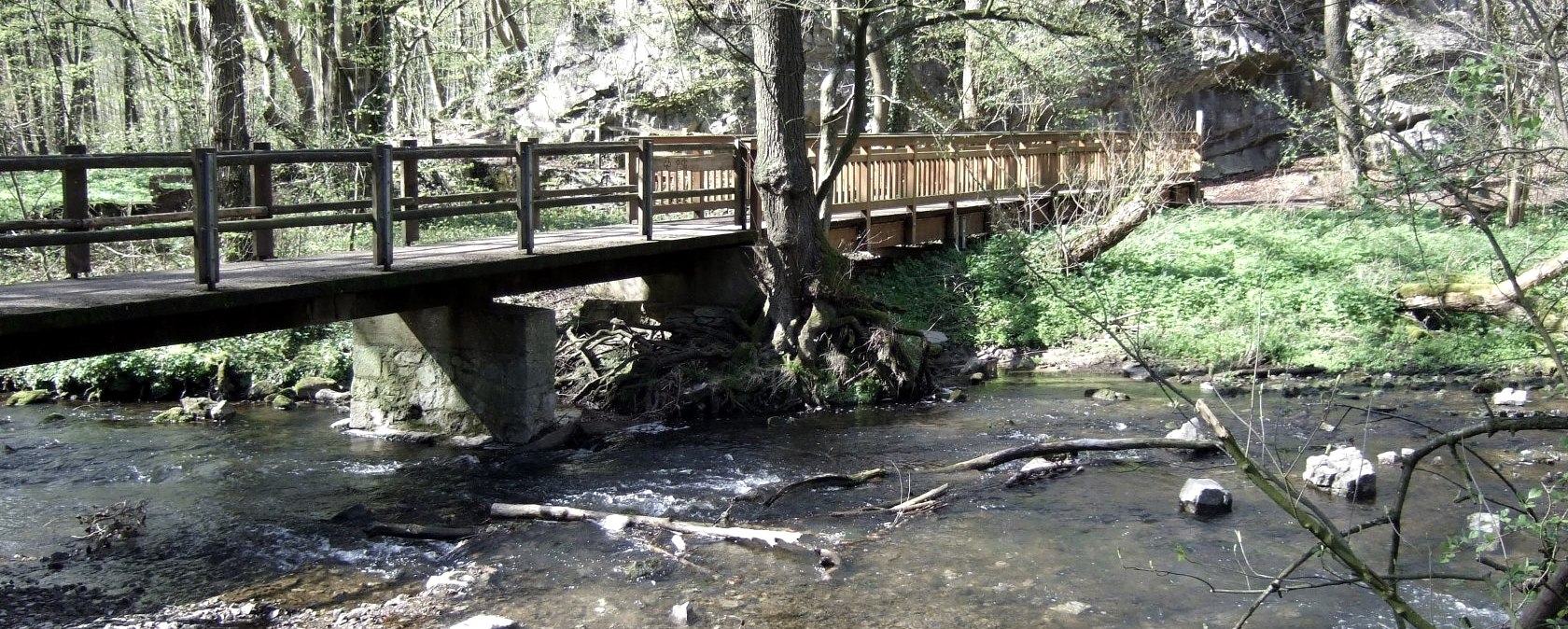
Wanderweg Inderoute: Brücke an der Inde, © aachen tourist service
  • Distance: 6.2 km
  • Duration: 2:30 h
  • Difficulty: easy

Inderoute

Aachen-Brand

The hiking route passes through the broad Inde valley from Aachen-Brand to Kornelimünster. Thanks to the meanders and side channels, the clear water of the river Inde is home to a large number of fish as it winds through the watermeadows with individual groups of trees. First, the trail crosses open meadows with a panoramic view onto the summits of the Eifel to Komericher Mühle spinning mill (16th century), and on to the restored Bilstermühle lime kiln (1870) with a geological outcrop. The second section of the route leads through the Klauser- and Frankenwald forest, a calcareous ravine forest with bizarre rock formations, past the chapel (a former hermitage from the 17th century).

Finally, the path follows the meanders of the Inde downstream to the former imperial abbey (814 - 1804), today a museum for “Art from NRW”, through to the medieval town centre of Kornelimünster at the starting point of the Eifelsteig.

mehr lesen

Marking of the tour:

  • Wegmarkierung Wanderweg Inderoute
gpx: partnerweg-des-eifelsteigs-inderoute

Share content:

Ergebnisse filtern:

Along the route

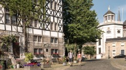
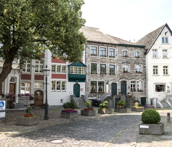
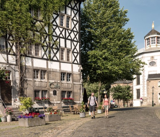
Historischer Ortskern Kornelimünster

Historischer Ortskern Kornelimünster, © Eifel Tourismus GmbH, D. Ketz

Kornelimünster with its churches worth seeing and old town houses, the former monastery and today's museum offers an excellent ambience for strolling. Important art treasures, the "Historical Fair" in June, the Korneli Octave in September and the Christmas market are reasons to visit the pilgrimage site. The pubs in the romantic alleyways attract walkers and stopovers. Kornelimünster is the starting point of the Eifelsteig long-distance hiking trail, which runs 313 km in 15 stages through the Eifel to Trier.

Details ansehen

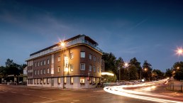
Hotel Buschhausen

hotel-buschhausen_aachen_bei-nacht
Hotel in Aachen, located close to Aachen's historic city centre. Details ansehen
Open map

Bitte akzeptieren Sie den Einsatz aller Cookies, um den Inhalt dieser Seite sehen zu können.

Alle Cookies Freigeben

More information about this route

Start: Aachen-Brand

Destination: Kornelimünster

Distance: 6.2 km

Duration: 2:30 h

Difficulty: easy

Ascent: 182 m

Descent: 139 m

Eifel Tourismus GmbH

Kalvarienbergstraße 1
54595 Prüm

write e-mail

Plan your journey

per Google Maps