Active filter
- Search for "Vulkaneifelpfade"
- Sort by "Best results"
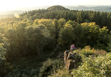
County Route
Lenght: 14.2 km
Route: Kurhaus Manderscheid to Manderscheid
Difficulty: intermediate
Round tour

Gerolstein Celtic Route
Lenght: 8.9 km
Route: Tourist-Information in Gerolstein to Tourist-Information in Gerolstein
Difficulty: intermediate
Round tour, Family-friendly

Volcano Summit Trail
Lenght: 31.3 km
Route: Daun-Neunkirchen to Daun
Difficulty: hard

VulkaMaar Trail
Lenght: 27.1 km
Route: Kurhaus Manderscheid to Kurhaus Manderscheid
Difficulty: hard
Round tour

Hochkelberg Panorama Trail
Lenght: 41 km
Route: Nohner Mühle to Ulmen
Difficulty: hard

Volcano Trail
Lenght: 31.6 km
Route: Jünkerath to Gerolstein
Difficulty: intermediate

Hinterbüsch Trail
Lenght: 34.1 km
Route: Üdersdorfer Mühle to Meerfeld
Difficulty: hard

Schneifel Trail
Lenght: 72.9 km
Route: Kronenburger Hütte in Kronenburg to Birresborn
Difficulty: hard

Maar Trail
Lenght: 34.7 km
Route: Schalkenmehren to Wanderparkplatz bei Lutzerath
Difficulty: hard

Maars and Thermal Springs Trail
Lenght: 35.2 km
Route: Ulmen to Bad Bertrich
Difficulty: intermediate