Active filter
- Sort by "Best results"

Eifelsteig Stage 07
Lenght: 17.7 km
Route: Zentrum am Rathaus 53945 Blankenheim to Parkplatz Haus Mirbach, 54578 Mirbach
Difficulty: medium
Public transportation

Eifelsteig Stage 08
Lenght: 26.1 km
Route: Parkplatz Haus Mirbach, 54578 Mirbach to Busbahnhof, Viehmarktplatz, 54576 Hillesheim
Difficulty: difficult
Public transportation

Eifelsteig Stage 09
Lenght: 22.3 km
Route: Busbahnhof, Viehmarktplatz, 54576 Hillesheim to Am Bahnhof, 54568 Gerolstein
Difficulty: medium
Public transportation

Eifelsteig Stage 10
Lenght: 23.7 km
Route: Am Bahnhof, 54568 Gerolstein to Am Bahnhof, Stadtparkhaus, 54550 Daun
Difficulty: difficult
Public transportation
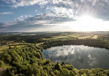
Eifelsteig Stage 11
Lenght: 23.4 km
Route: Am Bahnhof, Stadtparkhaus, 54550 Daun to 54531 Manderscheid
Difficulty: difficult
Public transportation
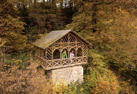
Eifelsteig Stage 12
Lenght: 18.2 km
Route: Parkplatz Burgenblick, 54531 Manderscheid to Himmerod 3, 54534 Kloster Himmerod
Difficulty: medium
Public transportation
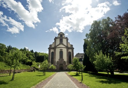
Eifelsteig Stage 13
Lenght: 20.5 km
Route: Himmerod 3, 54534 Kloster Himmerod to 54518 Bruch
Difficulty: easy
Public transportation
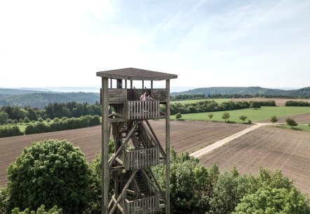
Eifelsteig Stage 14
Lenght: 27.8 km
Route: 54518 Bruch to 54306 Kordel
Difficulty: difficult
Public transportation
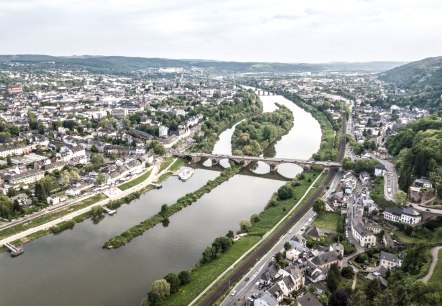
Eifelsteig Stage 15
Lenght: 17 km
Route: 54306 Kordel to 54290 Trier, Parking Weisshaus (+2,5 km to citycentre Trier)
Difficulty: medium
Public transportation
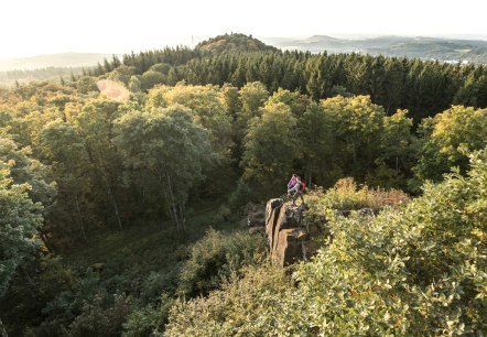
Gerolstein Celtic Route
Lenght: 8.9 km
Route: Park an der Kyll (Kurpark) to Park an der Kyll (Kurpark)
Difficulty: medium
Family-friendly, Round trip

