Type of tour:Hiking
Elevation profile
Description
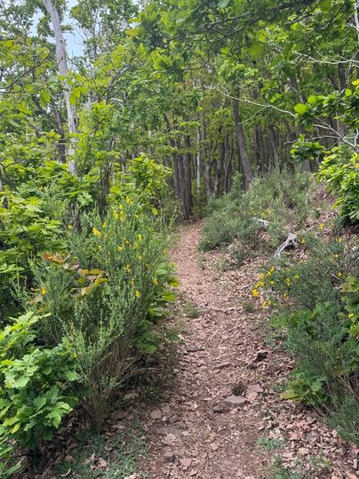
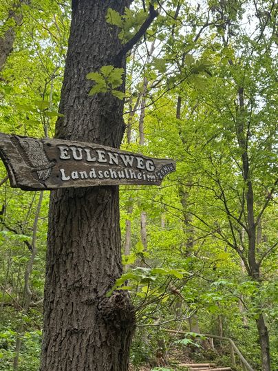
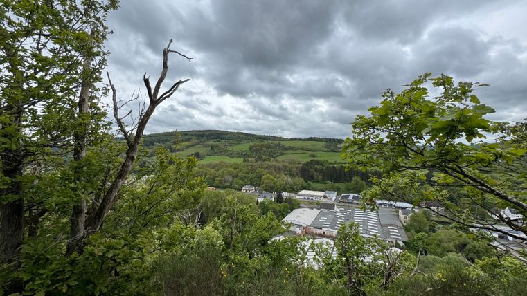
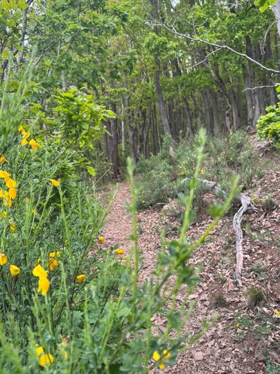
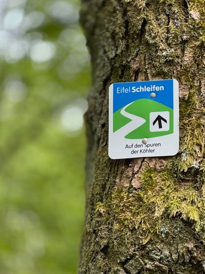
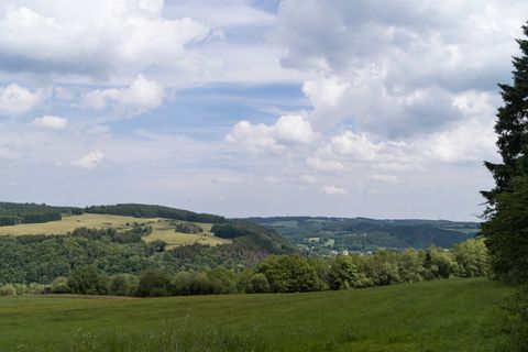
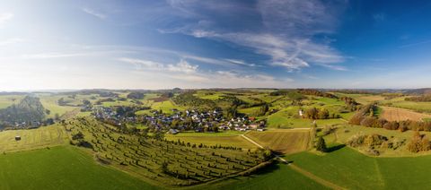
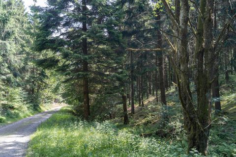
The EifelSchleife trail through the national park offers a variety of stunning sights: a scenic climb up Mauelter Berg, a leisurely stroll along the ridge near Mauel, and an exciting return trip along barren slopes covered in deadwood back to Gemünd.
The EifelSchleife trail leads from the Urft Valley near Mauel up to the Kermeter ridge. Most of the trail runs through the Eifel National Park, which was established in 2004. Linguists trace the name “Kermeter” back to the word “Carpinus”—hornbeam—from Roman times, suggesting that the term “Kermeter” was formed from “Carpinus” via “Karpeter.” The Kermeter served as a source of wood for the charcoal kilns, which are documented at over 1,000 sites there as production sites for charcoal.
Rising gently, it stretches from Kall-Anstois and Voissel for about 13 kilometers to Rurberg, where it drops steeply down to the Rur Valley Dam. The bedrock of the Kermeter consists of two different types of source rock: in the central and western parts—covering about 3,000 hectares—it consists of Lower Devonian clay-shale grauwacke, and in the eastern part—covering about 1,000 hectares— east of the old Roman road from Cologne to Reims between Gemünd and Hergarten, by Middle Buntsandstein.