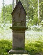
Spitzes Kreuz Kelberg
KelbergPointed cross The top cross is a votive cross (vow cross).
Pointed cross The top cross is a votive cross (vow cross).
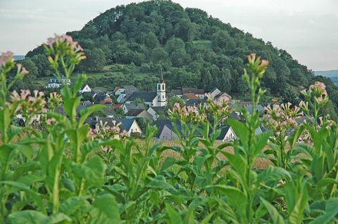
The Neuerburger Kopf is an extinct volcanic cone of 286 m height and the symbol of the Wittlicher Senke.
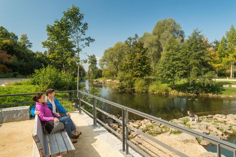
The Kyll corresponds to the Losheimer Graben at the border to Belgium. The Kyll, at about 130 km, is the longest river in the Eifel with its source and mouth located within the Eifel.
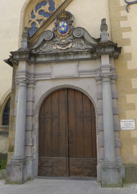
The church of St Michael is the oldest holy building in the city.
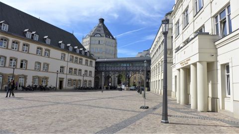
In 2008, the construction of the new justice quarter on "Plateau du Saint-Esprit" was completed.
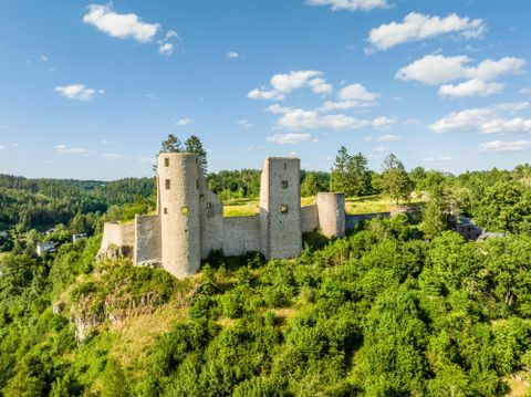
The castle represents the landmark of our place. A walk there is always worthwhile. From here you can enjoy an impressive view of Schönecken and its surroundings.
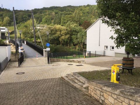
The bicycle repair station on the ´Sauerradweg´ , is located near a bridge for bicycles and pedestrians connecting Metzdorf (D) and Moersdorf (LU).
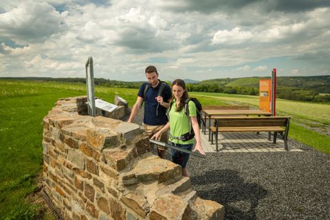
The Roman villa is known as a locality since 1890 and was investigated by the local community Bodenbach from 2003 with the most modern geophysical prospecting methods.
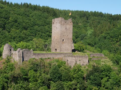
The upper forts is the older of the two Manderscheider forts. It was always owned by the Trier until the dissolution of the Electoral State and its destruction by the French (1673). Today, the well-preserved ruin is owned by the town of Manderscheid and is freely accessible.
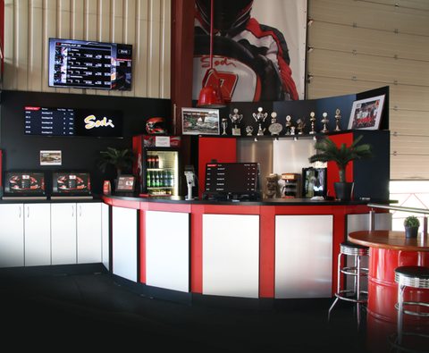
On 2800sqm you can expect a kart track with modern timing technology, mobile app with personal statistics, a podium for the winner's photo and sufficient recreational facilities. Whether it's a company party or a family outing - we look forward to welcoming you to our go-kart track in the center of the Eifel and Moselle!